Visualizing the Traveled Path of a Weather Balloon, Tanker Boat and Gliders with an RTL-SDR and CesiumJS
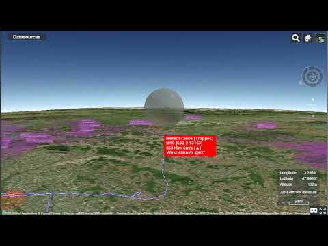
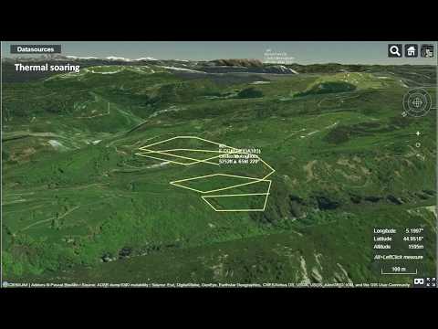
Over on YouTube user pascal poulain has uploaded a short video that shows a timelapse of the flight path of a weather balloon in Cesiumjs as it rises and falls, as well as a time lapse of a marine tanker docking, with the signals received with an RTL-SDR. In a third video pascal also shows a visualization of glider flights tracked via FLARM and the Open Glider Network which also obtains most of it’s data through RTL-SDR contributors.
Cesiumjs is a tool similar to Google Earth. The main difference is that it works on a wider array of devices through a web browser without the need for any plugins. It is often used for visualizing data on the globe. An example of some of its many demos can be found here.
We’re not sure what tools pascal used, but over on GitHub there is a tool called airtrack which can be used together with dump1090 to display flights in real time on Cesiumjs.