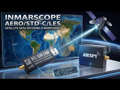
InmarScope: An Inmarsat AERO and STD-C Decoder with Multichannel Decoding and Automatic Call Following
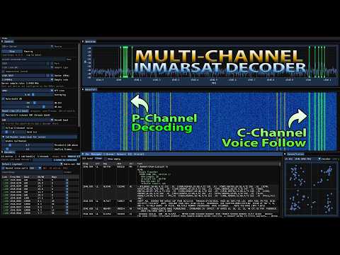
Over on the SignalsEverywhere YouTube channel, Sarah Rose has released InmarScope, a multichannel L-band Inmarsat decoder that connects directly to an RTL-SDR, Airspy, or HackRF. The software can receive and decode both aeronautical (AERO) and maritime (STC-C / EGC) traffic at the same time. Decoders are dropped directly onto the aligned FFT and waterfall by holding CTRL and left-clicking, and the software lets you stack Aero MSK (600/1200 bps), high-rate OQPSK (10500 bps), AMBE voice (8400 bps), and Inmarsat-C BPSK decoders side by side.
One of the more interesting features is automatic voice-call following. By monitoring the 10500 baud forward-link channels, InmarScope can receive C channel voice assignments and automatically retune the SDR to the assigned frequency, lock the carrier, decode and record the AMBE call, and then hop back to where it was. There is also a two-SDR mode that dedicates a second radio to voice with a live split-view spectrum so one radio stays on the P control channel while the other tunes to voice calls. For assignments that never get broadcast, there is also a Call Hunter feature that uses a squelch threshold to automatically drop the decoder when a call appears. When a call is playing, the built in flight map also decodes the aircraft hex ICAO address and looks it up on airplanes.live, showing the plane's position and route in real time.
Recent updates have added a community-editable band plan, message search and filtering, an IQ recorder that also captures the seconds before you hit record, and a web dashboard for browsing decoded data from a phone.
The software is completely open source on GitHub, and the C++ code can be compiled from source, or a precompiled Windows build is available on sarasforge.dev for $15, with Sarah's Patreon patrons getting it free.
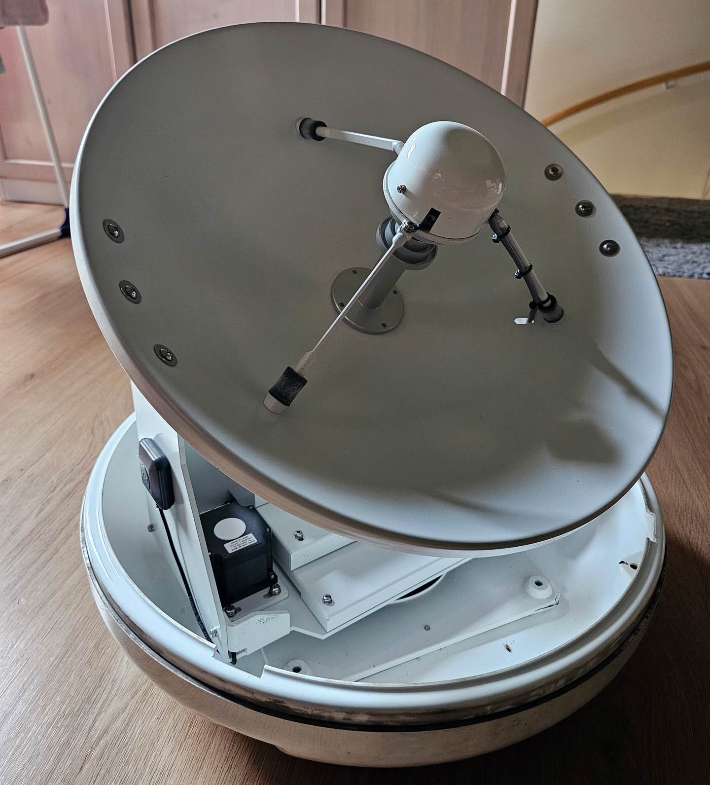
We note that Inmarsat signals such as AERO and STD-C/EGC can be received with our RTL-SDR Blog L-band Patch Antenna, which is available in our store.