MySondy: Radiosonde Tracking Firmware for a TTGO ESP32 LORA Board
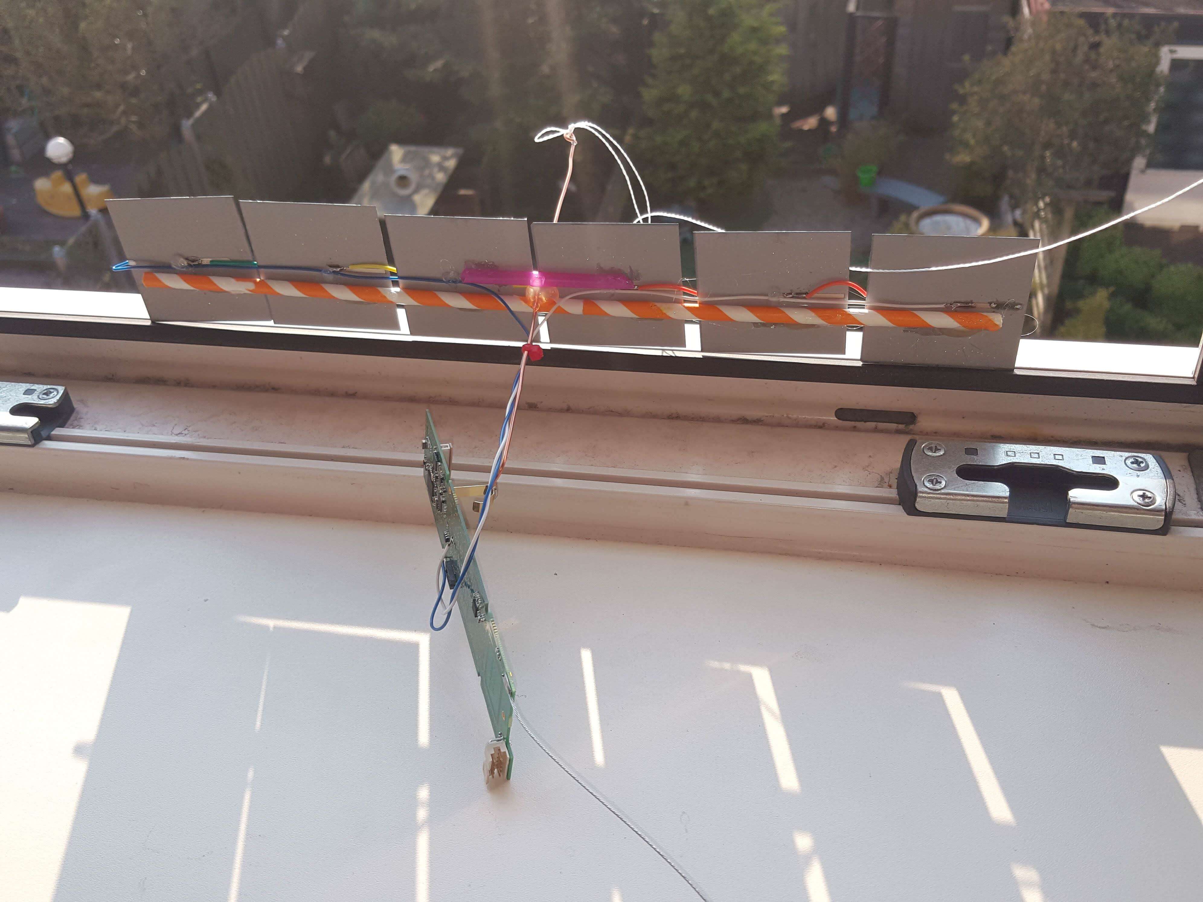
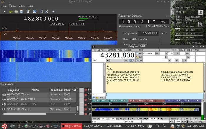
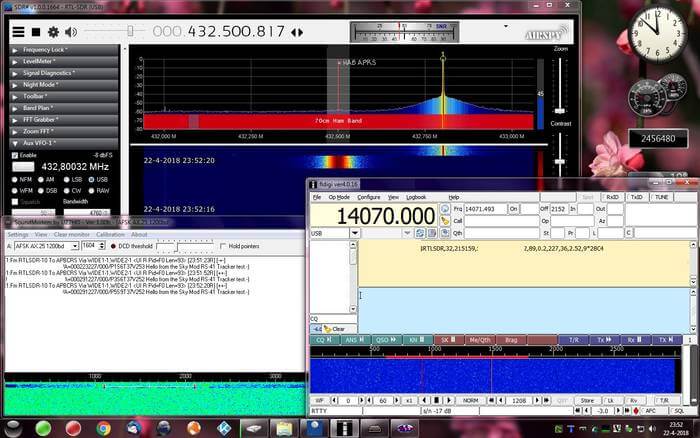
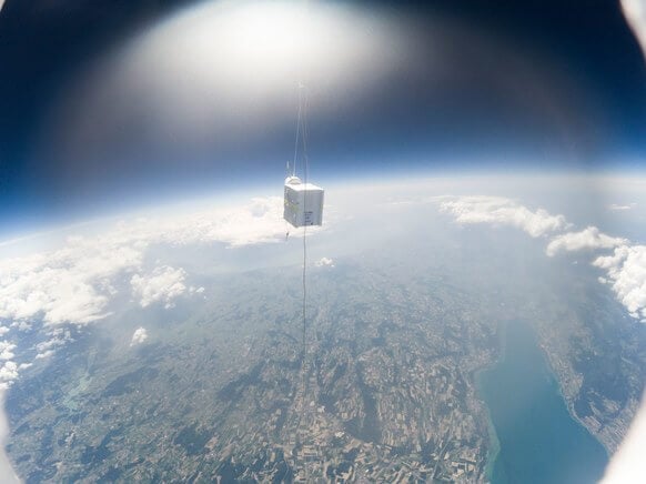
A radiosonde is a small sensor and radio package normally attached to a weather balloon. Meteorological agencies around the world typically launch two balloons a day from several locations to gather data for weather prediction. We have featured radiosondes several times on this blog as it is easy to use an RTL-SDR and computer to receive and decode their signals, which can used to hunt down the fallen sonde, or to receive the weather telemetry data.
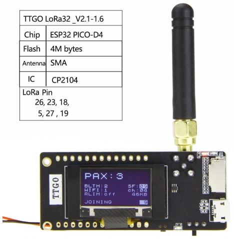
Recently RTL-SDR.COM reader António submitted a link to an interesting project called "MySondy" which is created by Mirko Dalmonte (IZ4PNN). MySondy is custom firmware for TTGO Lora32 433 MHz boards which allows them to be turned into a radiosonde tracker. A TTGO is a cheap ~US$20 LoRa32 IoT dev board with an onboard WiFi + Bluetooth enabled ESP32 microcontroller and OLED display. Some of the slightly higher priced units come with a built in GPS receiver as well. With the custom firmware it is capable of receiving and decoding common radiosonde protocols such as RS41, M10, RS92 and DFM.
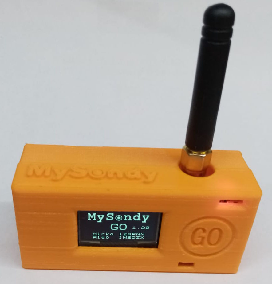
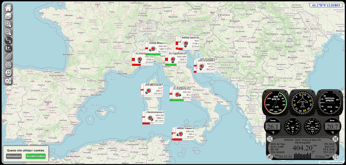
There is also an Android App called MySondy Go and MySondy FINDER which connect to the TTGO via Bluetooth. This app plots the location of the radiosonde on a map, allowing you to easily follow and track down the balloon. You can also go to mysondy.altervista.org to see public MySondy stations. Clicking on a blinking dot will connect you with the MySondy server, allowing you to see tracked sondes.
The firmware and software appear to be fairly new, so there isn't much information about this that we could find just yet. Also we note that all manuals and information about the project is written in Italian, except for a French magazine article (pdf) that António sent us to upload.
We note that these TTGO ESP32 LoRa boards are quite interesting by themselves, with other custom firmware available to do things like create a Paxcounter which counts the number of mobile devices in an area via WiFi and Bluetooth signals, and the ability to use them as a GPS enabled Mesh network based text message radio.