Saveitforparts: Receiving NOAA-15 One Last Time
Over on YouTube Gabe from the saveitforparts channel has uploaded a new video discussing the decommissioning of NOAA-15 and NOAA-19. We also previously posted about this topic a few days ago, if you are interested.
NOAA-15 was scheduled to shut down on August 12, 2025, but due to anomalies with NOAA-19, the decommissioning date of NOAA-15 has been extended by a few days until the week of August 18th. NOAA-19 has recently been experiencing transmitter failures, and it may be impossible to receive signals from it at the moment, despite its expected decommissioning date of August 19, 2025.
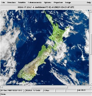
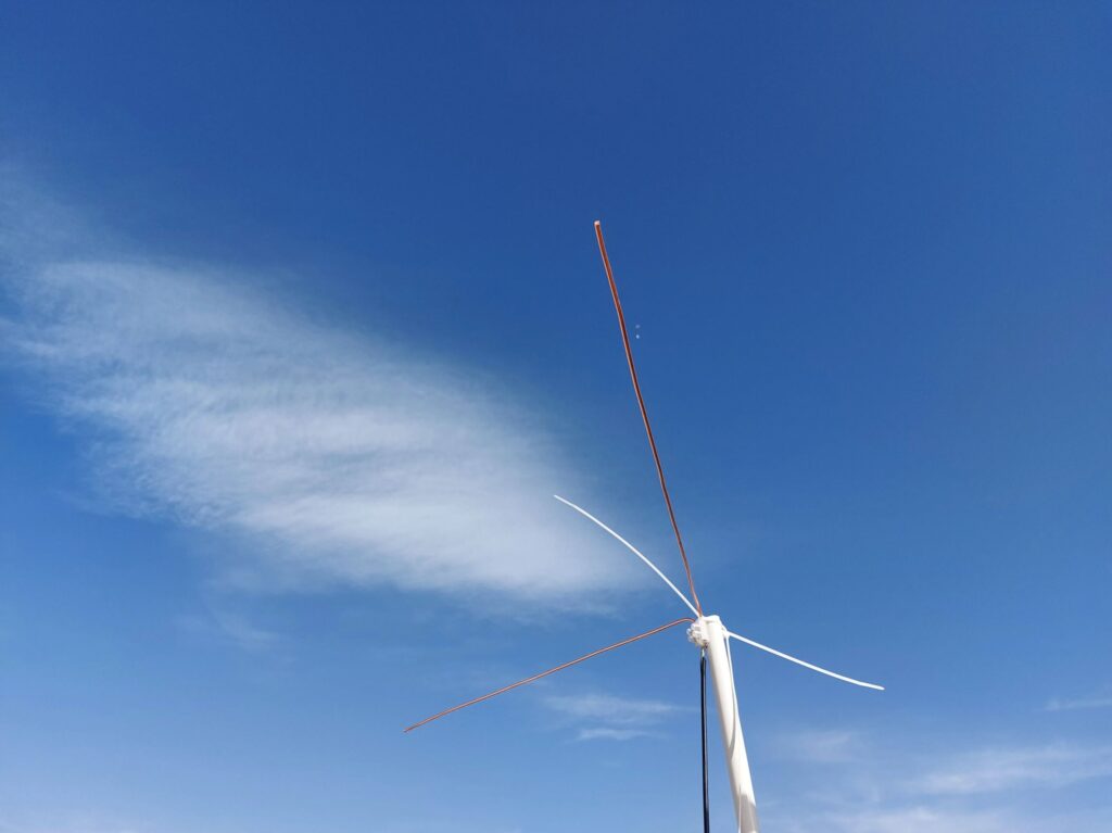
In the video, Gabe also rushes to try and receive signals from all transmitters on NOAA-15 one last time, setting up VHF, L-Band, and S-Band receivers. He experiences some issues with weak signals, interference, and recording failures, but ultimately succeeds in capturing all three signals during one of the final passes of NOAA-15.