FlightBox: Commercial RTL-SDR Based ADS-B (1090ES & 978UAT) Receiver for Pilots
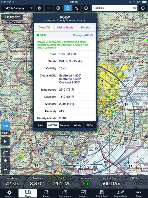
For some time now, small aircraft pilots who don’t have access to expensive ~$1000+ ADS-B gear have been successfully using an RTL-SDR and Raspberry Pi combination to receive ADS-B and UAT to display aircraft and weather data on an iPad. The first time we posted about this was back in August 2015.
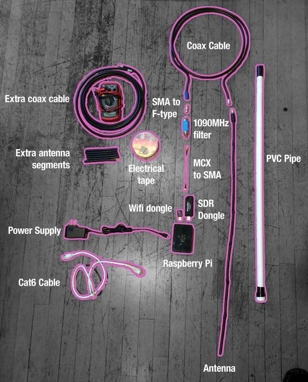
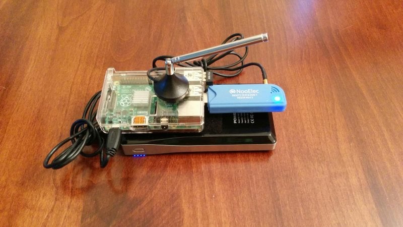
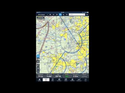
The full implementation uses two RTL-SDR dongles to receive both 1090ES aircraft position information and 978 UAT to receive weather radar information. Both dongles are used on a Raspberry Pi mini computer that runs a program called Statrux. Stratux takes the ADS-B information received by the RTL-SDR’s and re-transmits the data out via WiFi. Then an iPad running special pilot navigation aid software such as ForeFlight can interface with the WiFi signal and receive the ADS-B and weather information.
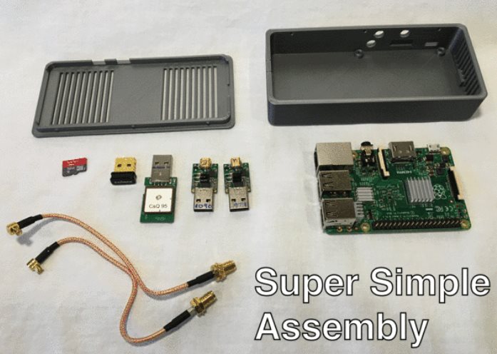
Assembly of a Stratux box requires the purchase of each individual component or a Raspberry Pi kit that includes the stratux software image on an SD card, RTL-SDR and WiFi adapter. However, setting up a Stratux box may be a little difficult for pilots who do not have any electronics DIY skills.
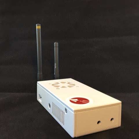
To solve this, a new product called FlightBox recently ran a successful Kickstarter campaign. FlightBox provides a ruggedized plastic case, a Raspberry Pi 2 preloaded with software, two nano RTL-SDR dongles, two pigtail adapters, a 10Hz WAAS GPS module, and two customized ADS-B whip antennas (one for 978 MHz and one for 1090 MHz).
The FlightBox costs $200 for single band operation and $250 for dual band (1090ES and 978UAT). They are currently accepting pre-orders for delivery in late March/April.
For more information about Stratux see the active discussion forum at reddit.com/r/stratux.