Tagged: satellite

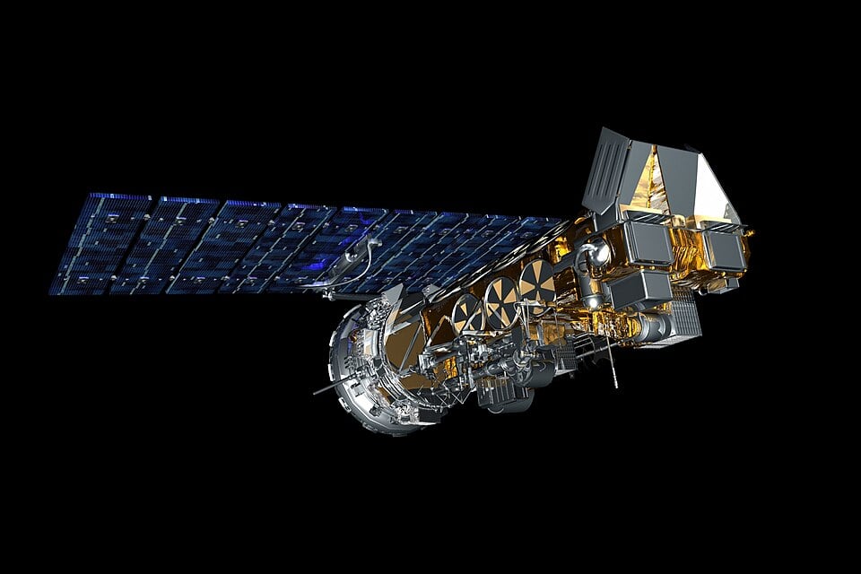
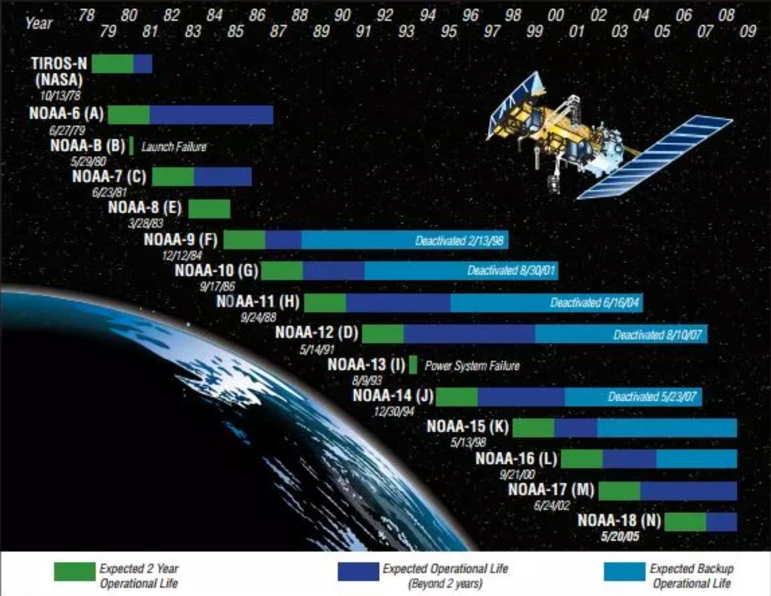
Updates To NOAA-18 Decommissioning: NOAA-18 Has Now Shut Down

A few days ago, we posted news that NOAA-18 was to begin decommissioning steps effective immediately due to a recent transmitter failure. Multiple reports have now confirmed that NOAA-18 has indeed shut down as of 1740 UTC 06/06/2025.

The usaradioguy.com blog has further updates for those who are interested. The official notice from NOAA can also be found here. Interestingly, it appears that NOAA-18 will not be de-orbiting as it lacks the required propulsion system to do so. So it will remain in orbit as space debris.

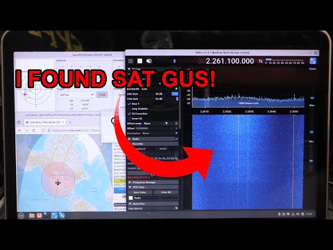
A user using a hobbyist station in Sweden also captured the shutdown remotely during APT image reception, as shown in the image below.

Farewell and thanks for your long service NOAA-18!

The final NOAA-18 APT pass captured by SA2KNG in Sweden, and processed remotely by Thomas:douwes.co.uk


NOAA18 to Begin Decommissioning Steps Immediately

In April, we posted news that the NOAA satellites would be classed as 'end-of-life' on June 16, 2025. According to the statements, the satellites were expected to remain in orbit and continue transmitting data that radio hobbyists could use, but no attempts would be made to rectify failures.

However, recent news from Carl Reinmann's usaradioguy.com blog has indicated that NOAA 18 will begin decommissioning steps immediately on June 3, 2025. The steps involve disabling batteries and transmitters, depleting remaining propellants, transitioning data and operations, and finally deorbiting, or moving the satellite to a safer orbit.

NOAA-18 may have been chosen to be decommissioned earlier than NOAA-15 and NOAA-19 as the S-band downlink transmitter failed last month, resulting in severe image degradation. The satellite has also been running on backup gyros since 2017, and has suffered various transmitter and sensor failures over the years. 

NOAA-18

AI Cloud Detection for GOES Weather Satellite Images on a Raspberry Pi

Over on his blog account at Hackser.io Justin Lutz has uploaded an article describing how he uses AI object detection to automatically detect clouds on weather satellite images that he's downloaded from GOES satellites via an RTL-SDR.

Lutz's blog post first describes and shows his RTL-SDR GOES reception setup. Then, it explains how he used Edge Impulse on his Raspberry Pi 4 to create an AI model that automatically detects the clouds in the image.

The process begins by importing 100 images into Edge Impulse, manually labelling the clouds in each image, training the model, and testing it. The result was an average detection accuracy of 90%.

NOAA 15, 18, 19 End of Life Announcement – But Transmissions will Continue for Hobbyists

Over on the USradioguy.com blog, we've seen news from Carl Reinmann noting that NOAA 15, 18, and 19 will be classed as end-of-life on June 16, 2025. These NOAA satellites are ones commonly used by RTL-SDR hobbyists to download weather satellite images, either via APT on 137 MHz with a V-dipole antenna, or via HRPT on 1.7 GHz with a tracking dish antenna.

Initially, it was thought that this meant that transmissions would cease. However, Carl Reinmann has now clarified with NOAA that transmissions of the APT and HRPT signals will continue as usual. Importantly, NOAA urges that these transmissions will only be "data of opportunity" and should no longer be used for operational purposes (not for anything safety-critical, for example). The transmissions will be fine for everyday hobbyist use.

However, this does mean that should the sensors on these satellites start failing, no attempt will be made to repair them from the ground, and in case of critical failures, the satellites will be decommissioned. In the past, we've seen NOAA 15's scan motor fail multiple times before coming back to life. It's not clear if the satellite received commands from the ground that helped recover it or if the motor just recovered by itself.

The NOAA satellites have lived well past their operational life.

Receiving Elektro-L3 LRIT Weather Satellite Images with an 11-Turn Helix Antenna and No Dish

Typically, a satellite dish is used to receive Elektro L3. As an example, our 70cm diameter Discovery Dish with linear feed can do this easily, and achieve an SNR of about 5-6 dB. However, as Meti shows, it is possible to receive this satellite even without a dish, and as he shows, an SNR of 1.5 dB is sufficient for decoding a perfect image.

Meti's antenna is an 11-turn RHCP helix made of copper wire, with a 17 x 17cm ground plane. In his post, he also notes a few interesting findings, noting that the height of the antenna off the ground is critical, rotating the helix can help, interference from cell towers can cause issues, and bending the corners of the ground plane can help.

In the rest of the post, Meti also shows how well the helix antenna works at receiving weather satellite signals from polar orbiting L-Band satellites like Meteor M2-3.

Meti's 11-Turn RHCP Helix Antenna

Using our RTL-SDR Blog Dipole as a V-Dipole for Receiving Weather Satellites

With our RTL-SDR Blog dipole antenna set, it is possible to use it in a "V-dipole" configuration to receive polar-orbiting weather satellites such as NOAA and Meteor at 137 MHz. More information on this can be found on our page at www.rtl-sdr.com/DIPOLE.

If you are after more visual instruction, "Baltic Lab" has uploaded a clear video on YouTube showing how to set the dipole leg lengths and angles correctly for weather satellite reception. 

We want to add that it is also important to remember to mount the antenna outdoors horizontally and in a north-south orientation with a clear view of the sky for the best results.

How To Build A V Dipole For Receiving Weather Satellites

IEEE Spectrum Article on Discovery Dish

Electrical engineering magazine IEEE Spectrum has recently posted an article about our Discovery Dish product, which was successfully crowd-funded on CrowdSupply and delivered to initial backers early this year. Discovery Dish is a 70-cm aluminum satellite dish with an active filtered feed. It is designed for receiving real-time weather data from GOES HRIT, GK-2A LRIT, FengYun LRIT, NOAA HRPT, Metop HRPT, Meteor M2 HRPT, and other weather satellites that operate around 1.69 GHz. There are also feeds for Inmarsat satellites, Hydroden Line observation, and S-band satellites.

In the article, Stephen Cass introduces the Discovery Dish, highlighting its practical uses and the convenience of disassembling it for easy packing in a suitcase during travel. He also shares his experience using the Discovery Dish to successfully receive images from the GOES-East satellite from the rooftop of his New York City apartment.

Finally, he mentions how he tested the hydrogen line feed as well, successfully seeing a hydrogen line peak when pointing at the galaxy.

Image from the IEEE Spectrum Article on Discovery Dish

Saveitforparts: Snooping on the SatGus Selfie Satellite

SatGus is a recently launched cubesat owned by CrunchLabs/Mark Rober, an extremely popular science and engineering YouTuber. The satellite is designed to take selfies of CrunchLabs customers' own photos in space, using a screen and a selfie camera mounted on the satellite. It then broadcasts the selfie image back down to a CrunchLabs ground station, where it is eventually emailed to the customer. Customers then claim that they've had their selfie taken in space.

Over on the saveitforparts YouTube channel, Gabe has been attempting to listen in on the SatGus downlink using a HackRF and a motorized satellite dish setup. SatGus transmits telemetry at 400.2 MHz and the payload dump at 2,262.5 MHz. While he is able to receive the signal, Gabe notes that it is encrypted, so not much can be done with it.

Snooping On SatGus Again