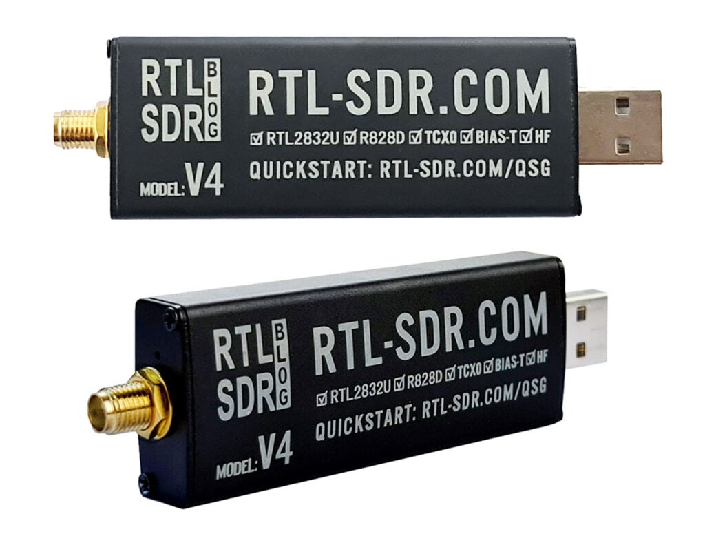
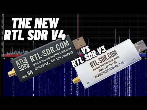
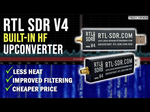
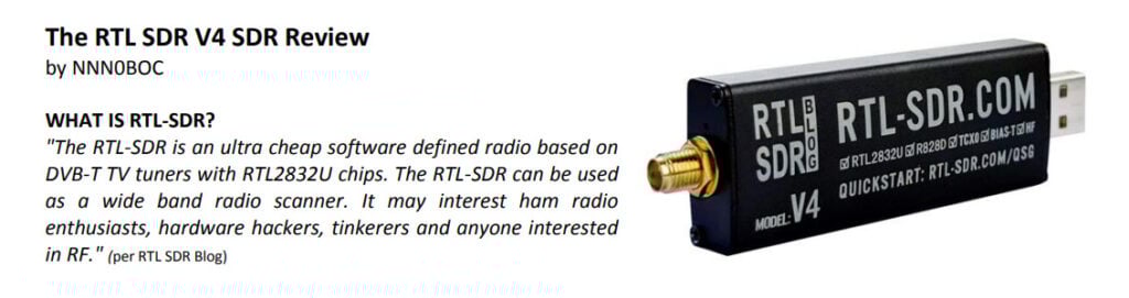
Thank you to Carl Reinemann (aka USRadioGuy) for letting us know through his blog post that goestools has recently been ported to Windows. Goestools is a software package that is used to receive and decode images from GOES weather satellites. In the past it was only available for Linux systems, however recently thanks to the work of Jamie Vital, goestools has now been ported and can run on Windows. Carl Reinemann has confirmed that the software runs perfectly on Windows. Our GOES tutorial should also be easily modified to work with the Windows port.
The Windows port can be downloaded from goestools-win on GitHub. If you are interested, Jamie Vital is also the author of Vitality GOES, which is a program that can display the received weather images in a nice GUI.
Alternatively we note that another cross platform GOES decoder is SatDump which is currently the most popular choice for GOES.
Over on his YouTube channel dereksgc has uploaded the next video in his series on satellite reception. In this video he shows how to build a Yagi antenna tuned for 137 MHz, which is great for receiving NOAA APT and Meteor M2-3 LRPT. Note that a Yagi antenna will give you stronger reception compared to a turnstile, QFH or V-Dipole, but as it is a directional antenna you will need to manually point it towards the satellite as it passes over your location.
For Meteor M2-3 LRPT, a Yagi antenna may be beneficial, as it appears this satellite is having some issues with signal strength, due to a possibly defective antenna that did not fully unfold on the satellite.
The Yagi antenna design is a four element design, with one reflector, two directors and one driven dipole element. The physical construction consists of a piece of wood for the boom, brass welding rods for the elements, and a terminal block for the active dipole element. 3D printed handles are added for easy holding and the RTL-SDR and LNA sit directly on top of the boom.
Over on dereksgc's YouTube channel we've discovered a few more recent interesting videos from his satellite decoding series that people may be interested in. One from two weeks ago shows how it's possible to receive voice transmissions on navigation satellites such as GPS.
Many navigational and meteorological satellites carry a search and rescue (SAR) repeater which is intended to receive UHF emergency locator beacons and rebroadcast them in the L-band or higher. However the repeaters appear to be picking up all sorts of other signals from the ground, including voice transmissions. Dereksgc notes that the theory is that there are some land based communications systems in some countries that are sharing frequencies that emergency locator beacons use, or that malicious pirates may be actively using these SAR repeaters for their own communications.
Dereksgc shows examples of retransmitted signals on the Beidou, GLONASS and Elektro-L satellite downlinks at 1.5442 GHz and at 2.226 MHz for the GPS satellites. He also shows what sort of satellite dish and feed setup you need. In the video he uses a HackRF as the SDR, but you could also use an RTL-SDR for the satellites that transmit at 1.5442 GHz.
Receiving voice transmissions from GPS satellites || Satellite reception pt.10
Over on YouTube dereksgc has another video on Meteor M2-3 reception. In the video Derek goes over the history of Meteor M launches and then goes on to test reception of the 3.4 GHz telemetry signal which he recorded early after the satellites launch.
The next day he sets up 1.7 GHz HRPT reception using a hand tracked satellite dish and is successful as receiving it. He then goes on to test 137 MHz LRPT reception with a V-dipole antenna and RTL-SDR and is also successful. Finally he decodes the recordings using SatDump and is able to get some great images.
Derek also notes that there might be a problem with the LRPT antenna which could explain some reports of poor reception at some elevations of the satellite. He notes that it seems likely that the QFH antenna extension process on the satellite didn't extend fully or at all.
A few days ago we posted about the successful launch and deployment of the latest Russian Meteor M2-3 weather satellite. The satellite is currently actively transmitting LRPT weather images.
Over on his YouTube channel, "saveitforparts" has uploaded a video showing how he received images from the new satellite using his RTL-SDR. His method involves first recording the signal pass on a Raspberry Pi with rtl_fm, and then passing that wav file into SatDump for decoding and image generation.
We note that it is also possible to directly live decode the pass using SatDump, however a Raspberry Pi may be a little too slow to run the GUI version of SatDump. Instead you could use rtl_tcp on the Pi and run SatDump on a networked PC, or simply run the RTL-SDR and SatDump on the PC or a more powerful device like an Orange Pi 5.
Ultimately he experiences some unresolved problems with the decoding process, but is able to end up with a decent image.
Grabbing Images From New Russian Satellite (Meteor M2-3)
If you weren't already aware, KrakenSDR is our 5-channel coherent radio based on RTL-SDRs, and it can be used for applications like radio direction finding. KrakenSDR is in stock and can be purchased from CrowdSupply or Mouser. More information is also available on our website at krakenrf.com.
In this video we are using a KrakenSDR to hunt for the location of a low power FM transmitter (LPFM) station at 106.7 MHz. These low power FM transmitters are legal as unlicensed transmitters as long as they operate under certain restrictions, the main one being that they transmit at under 1 watt EIRP. LPFM stations are typically operated by local communities or niche radio stations.
Because they are unlicensed, there is no official record and their location doesn't show up in the radio spectrum management database. A requirement of LPFM is that the station broadcast the contact information of the owners regularly, but it can be difficult to locate non-compliant stations that don't do this. But the KrakenSDR makes finding them easy.
The array is 45cm in radius, which is about the maximum that my RAV4 car roof can fit. Some of the antennas sit on a slight curve on the roof, but this appears to have negligible effect. The spacing factor is about 0.19 (optimal is 0.5 - a much larger radius), but even 0.19 is sufficient to find the transmitter fairly easily.
In his latest video Matt from the TechMinds YouTube channel shows us how to build a home made turnstile antenna for receiving the MILSAT SATCOM satellites where radio pirates from Brazil and other countries can often be heard.
The build involves 3D printed parts, metal measuring tape for the elements, some aluminum tubes and a coax phasing harness. After testing the VSWR with a meter, Matt tests the antenna with a handheld and finds it to be working well. He also later tests it with his SDRplay RSPdx and finds that the Turnstile outperforms his roof mounted vertical.
Meteor-M satellites are Russian owned weather imaging satellites that are in polar orbit. They transmit images to earth in the LRPT format at 137 MHz, making them almost as easy to receive as the older NOAA APT satellites. Unfortunately all prior Meteor M satellites have suffered an early ending or partial ending to their mission from technical faults or micro-meteorite collisions.
However, on June 27th 2023 the latest Meteor M2-3 satellite was successfully launched on a Soyuz-2 and has been reported to be already transmitting LRPT images of the earth.
Soyuz-2 Launch of Meteor M2-3 and 42 Cubesats
To receive images from the Meteor M2-3 satellite you will need an appropriate 137 MHz satellite antenna such as a v-dipole, Turnstile or QFH. An RTL-SDR or any similar SDR can be used as the receiver.
These days, the easiest software to use to receive Meteor M2-3 is probably SatDump, whose Windows and Android binary releases can be downloaded from the GitHub Releases page. Linux users can follow the build guide in the SatDump Readme. We note that we've found the SatDump GUI to run well on an Orange Pi 5, which makes this a good portable solution too.
To determine when the satellite is over your location you can use satellite tracking software such as Gpredict on Linux and Mac, or Orbitron on Windows. (For Orbitron, remember to run the software as Administrator, and to update the TLEs so that the Meteor M2-3 weather.txt TLE tracking data is downloaded).
Over on Twitter we've already seen various Tweets about successful reception.
1st try w/ 137 MHz LRPT from the new METEOR-M N2-3 1500utc. So nice to have a higher resolution weather sat back on VHF! Images from I/Q replay in SatDump (https://t.co/A7V0MeqeGE) pic.twitter.com/OMs1zjpKb4
Second pass of the newly launched Meteor-M 2-3
This time all worked like a charm and the picture is superb. I tried dual band to compare both LRPT in 137.900 and HRPT in 1700. Although decoded shown picture is from the HRPT stream.
@aang254, the author of SatDump has also noted that he is working on finalizing projections for Meteor M2-3 and this should be ready to use in SatDump shortly.
METEOR-M 2-3 is active, and I have added initial support including projections in SatDump already.
We also note that a Meteor Demodulator has also now just been added to SDR++.
The OQPSK mode has been added to the #Meteor demodulator to decode Meteor M N2-3. Enable it when receiving said satellite. It will be available for download in a few minutes when the nightly build is done building.
Note that some more tuning will be done in the coming days.#SDRpic.twitter.com/DB307Q5ObD
Another interesting fact is that along with Meteor M2-3 the UmKA cubesat was launched will transmit astronomical images at 2.4 GHz. To receive this, you will most likely need a 2.4 GHz WiFi dish, and also a motorized tracking system to track the satellite as it fly's overhead. Decoding of this is already supported in SatDump according to the programmer.
METEOR-M 2-3 is launching tomorrow, and with it UmKA that @HRPTEgor worked on.
It will transmit astronomical imagery on amateur bands 2.4Ghz. As such, I have added support for it in SatDump just now :-)