FengYun-2H/G Geostationary Weather Satellite Now Decodable with 120cm Dish (Europe to Australia Coverage)
Hot on the heels of the GOES-13 weather satellite decoder that we posted about a few days ago, @aang254 has just released a new RTL-SDR compatible decoder for the FengYun-2H, 2G and possibly 2E geostationary weather satellites.
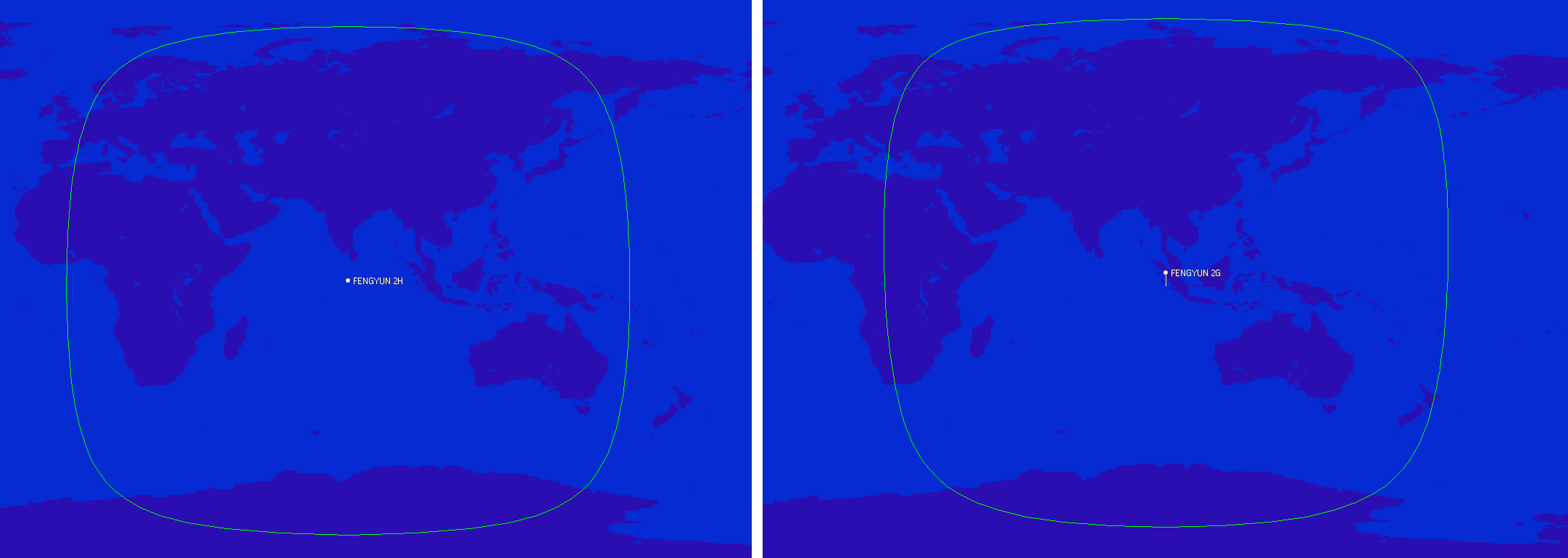
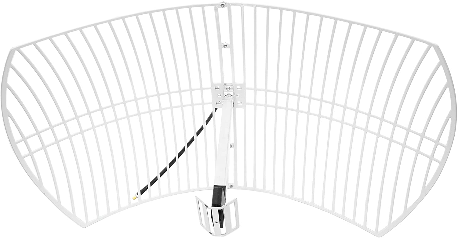
The FengYun-2 line of weather satellites are the Chinese equivalents to GOES, and they are positioned to cover parts of Europe, Africa, the Middle East, Asia, Russia, and Australia. So this is another geostationary weather satellite now available to Europeans which broadcasts in the L-Band at 1687.5 MHz. And unlike the weaker GOES-13 L-Band downlink, the FengYun-2 downlink is much stronger which means that reception with a 120cm satellite dish should be possible. We note that it has not yet been confirmed if the typical 90-100 cm WiFi dishes used with GOES-16 and 17 will be big enough to work. @aang254 writes:
Yesterday I successfully decoded the S-VISSR downlink from FengYun-2H thanks to a recording by @MartanBlaho. It is stronger than PDR on EWS-G1 (see Zbychu's signal twitter.com/ZSztanga/statu) meaning it should (untested) be doable with a 120cm (or smaller but no confirmation again) dish instead of 180cm.
It covers parts of Europe, Russia and down to Australia. FY-2G and FY-2E (no confirmation for this one yet) are also decodable in the same way. I released an early decoder, that currently is not suitable for automated setups but allows getting images already. A later version (that should come soon-ish) will allow live decoding / autonomous setups in a similar fashion to other satellites.
Also, the res is 2km/px on VIS and 8km/px on IR, so half that of GOES-13 with similar-ish coverage (Europe is less visible though).
(also forgot to say but the bandwidth is under 2Mhz, allowing a rtlsdr to be used)
Gave a go at a FengYun-2H animation with the data recorded by @MartanBlaho.
— Aang254 (@aang254) November 20, 2020
Sadly some scans focus only on the northen hemisphere but it still turned fine!
Visible channel pic.twitter.com/9FcZlD9oYi