Recently, Owen Taylor, the CEO of WAKE (Worldwide AIS Network), wrote in to us asking if they could promote their project, which is a decentralized AIS aggregation network based on receivers like RTL-SDR. The twist compared to existing aggregators like marinetraffic.com is that WAKE aims to reward users via a crypto token and simultaneously solve the distributed verification problem to avoid problems like spoofing and poor transparency.
The post below is their own words, and we note that we are not affiliated with WAKE.
Every second, ships transmit short bursts of data over VHF, broadcasting their position, speed, course, and identity. This is AIS (Automatic Identification System), an open, unencrypted protocol that lets vessels, ports, and coastal authorities maintain a shared picture of maritime traffic. Beyond collision avoidance, AIS feeds into port logistics, environmental monitoring, search and rescue operations, and even the financial analysis that drives global commodities trading.
For years, much of this coverage has been built on a mix of official receivers, satellites and a scattered network of volunteers, many of them SDR hobbyists streaming data from antennas on rooftops and coastal hills.
This model works, until it doesn’t. AIS has a well-known weakness: there’s no built-in authentication. Anyone can transmit a valid-looking AIS message. That opens the door to errors and deliberate spoofing, and right now there’s no universal method for verifying what’s real.
How AIS Works
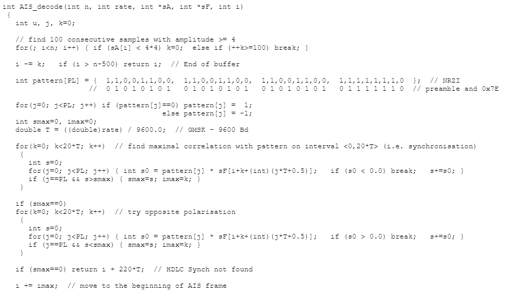
AIS operates on two dedicated VHF channels, 161.975 MHz and 162.025 MHz, using 9600 bps Gaussian Minimum Shift Keying (GMSK) modulation. Transmissions follow a self-organizing time division multiple access (SOTDMA) scheme, where each station selects its own time slots to avoid collisions.
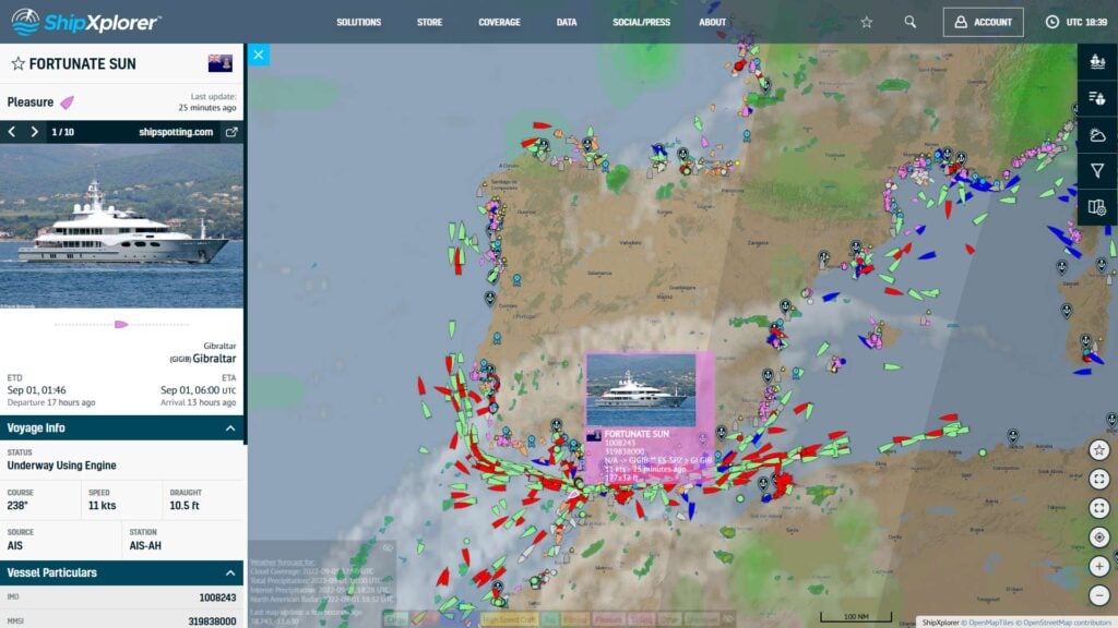
An AIS message can carry vessel identity (MMSI), position (latitude, longitude), speed over ground (SOG), course over ground (COG), navigational status, and other voyage data. Ships transmit at intervals from every few seconds (for fast-moving craft) to every few minutes (for anchored vessels).
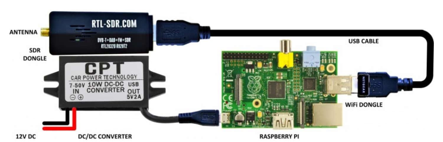
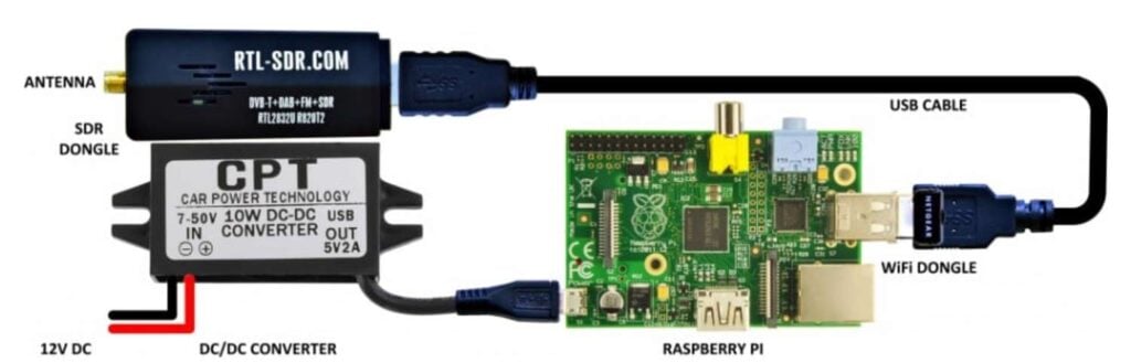
For terrestrial reception, the chain looks familiar to any SDR operator:
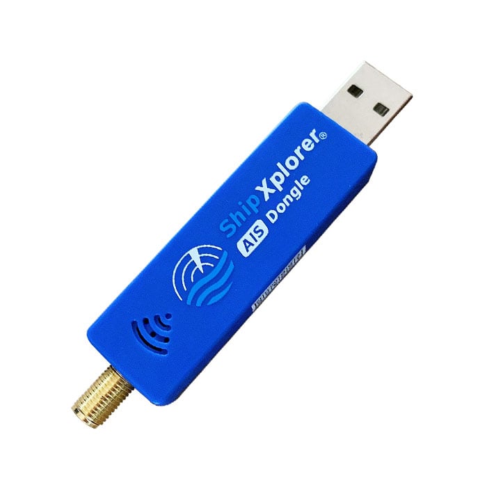
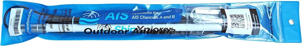
Antenna → RTL-SDR (or similar) → AIS decoder software → Data feed.
Noise floor, antenna gain, and local RF environment all influence range, which for a coastal VHF station is typically 20–40 nautical miles. Higher elevations and directional antennas can stretch this significantly.
The Current Aggregation Model
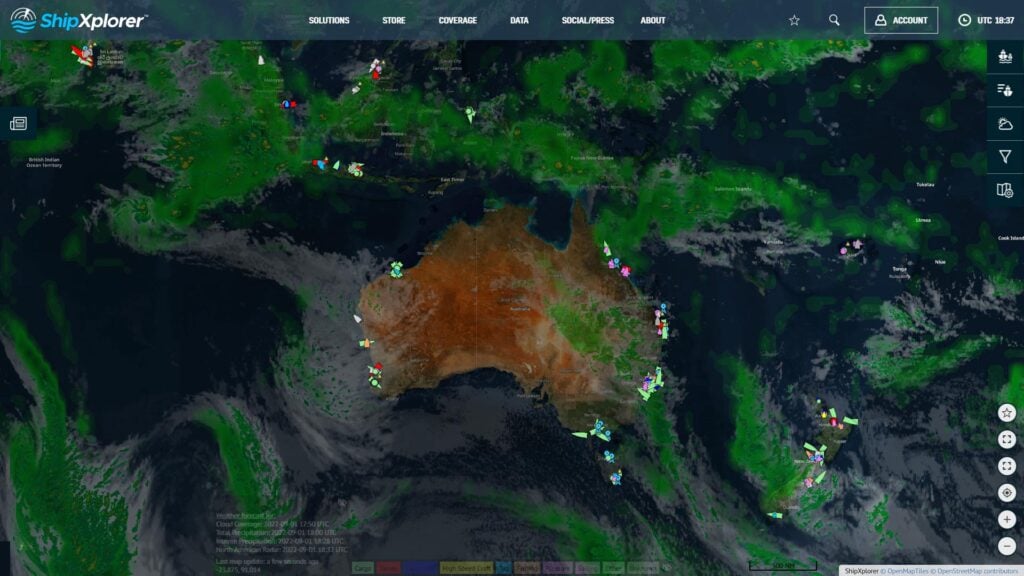
Global AIS coverage today comes from a mix of satellite AIS for open-ocean tracking and terrestrial AIS for coastal areas, ports, and choke points. The terrestrial component is heavily dependent on a patchwork of volunteer-operated receivers, often nothing more than a VHF antenna, an RTL-SDR, and a small computer feeding data into a central platform.
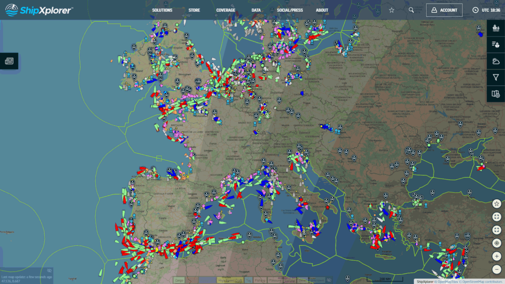
Commercial services like MarineTraffic (now owned by Kpler), VesselFinder, and AISHub aggregate these feeds into global datasets that are then resold to shipping companies, commodity traders, insurers, and governments. The scale is impressive, but it comes at a cost to transparency.
In a recent video circulating on Reddit, the CEO of Kpler openly described their “monopoly” on maritime data, built on the volunteers giving up their data for free. While this may be good for their commercial positioning, it also highlights the underlying issue: a small number of companies effectively control access to AIS data, much of which was gathered for free from hobbyists.
From a technical perspective, the aggregation model has another weakness: it is built on trust. If a feed sends false data, whether through AIS spoofing, misconfigured hardware, or bad GPS input, that information can still enter the global record. Most platforms only filter out data that is obviously invalid, and there is no universal multi-source verification or cryptographic proof of authenticity in the AIS ecosystem.
The Data Integrity Problem
AIS is intentionally open and unencrypted to encourage wide adoption and interoperability. The downside is that nothing stops someone from transmitting a false position for a real ship or inventing an entirely fake vessel.
Spoofing incidents have been documented around the world. “Ghost ships” have appeared hundreds of miles inland. Vessel positions have been falsified to hide illegal fishing or smuggling. In some regions, ships broadcast fake locations to evade sanctions or mislead competitors.
Because AIS is used for everything from traffic management to environmental compliance, bad data has real consequences. It can mislead port authorities, disrupt logistics chains, and undermine safety systems that depend on knowing exactly who is nearby.
Distributed Verification
When we talk about “distributed” in this context, we mean a network of many independent AIS receivers, owned and operated by different people in different locations, all working together to validate the same signals. No single entity has control over the data pipeline, and no single point of failure can compromise the entire dataset.
This approach aligns with what’s known as DePIN (Decentralized Physical Infrastructure Networks). In a DePIN, real-world hardware, in this case, AIS receiving stations powered by RTL-SDR dongles, is deployed by a distributed community, and the data it produces is aggregated, validated, and made available on a blockchain. Contributors are often incentivized for their role in maintaining the physical infrastructure and supplying high-quality data.
Applied to AIS, DePIN solves the monopoly and trust problem by creating:
- Redundancy — multiple stations cover the same area, making spoofing and errors easier to detect.
- Transparency — all verification events can be independently audited.
- Resilience — coverage doesn’t vanish if one provider shuts down or changes terms.
From a technical perspective, defeating AIS spoofing requires proving that a received message is both authentic and physically plausible. A distributed verification system can achieve this by:
- Time of Arrival (TOA) Checks
Comparing reception timestamps across geographically separated receivers. A false signal transmitted from shore will produce a different TOA pattern than one from a vessel at sea.
- Motion Consistency
Checking positions against realistic limits for speed, acceleration, and turn rate. If a ship appears to jump 50 nautical miles in a minute, it fails.
- Cross-Coverage Triangulation
Using relative signal strength and geometry between receivers to estimate origin and compare it to the reported position.
- Peer Agreement
Looking for identical messages confirmed by several uncorrelated receivers. Messages verified by multiple independent nodes have a much higher trust score.
Once these checks are complete, the verification results, not necessarily the raw AIS payload, can be recorded on a tamper-proof, public ledger (such as a blockchain). This creates a permanent, auditable history of which AIS messages passed validation and when, allowing anyone to verify the integrity of past data without relying on a single company’s database.
Incentivizing a Trustless AIS Network
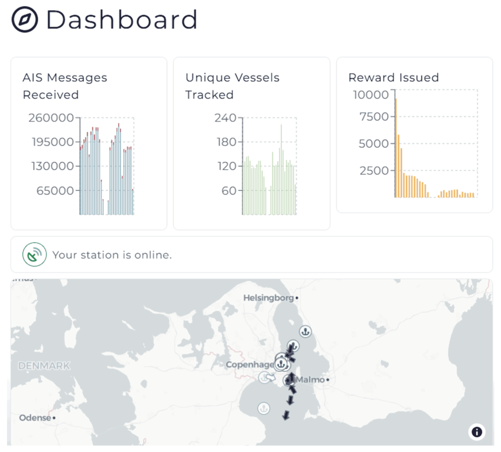
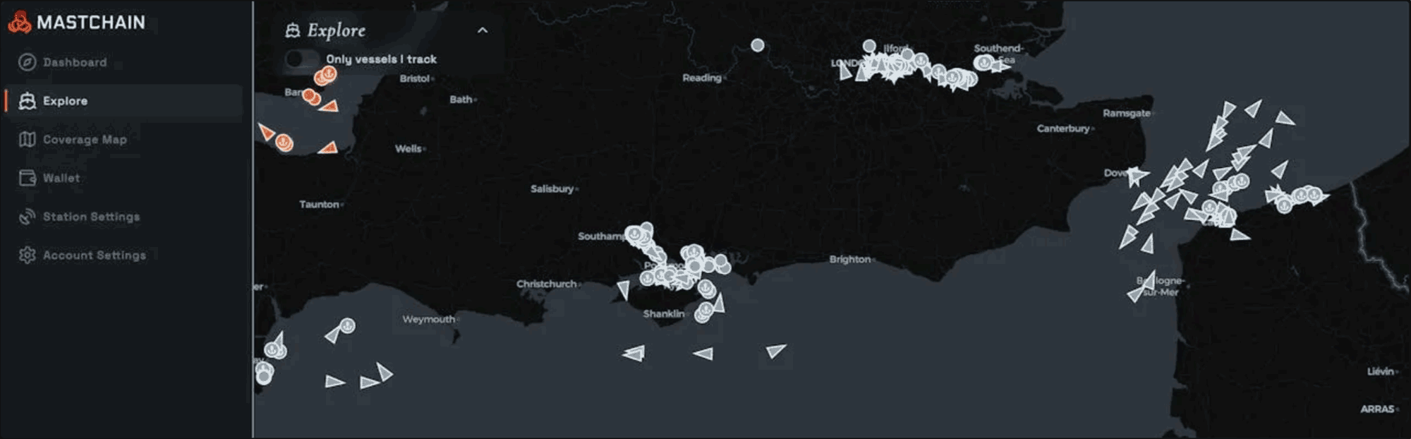
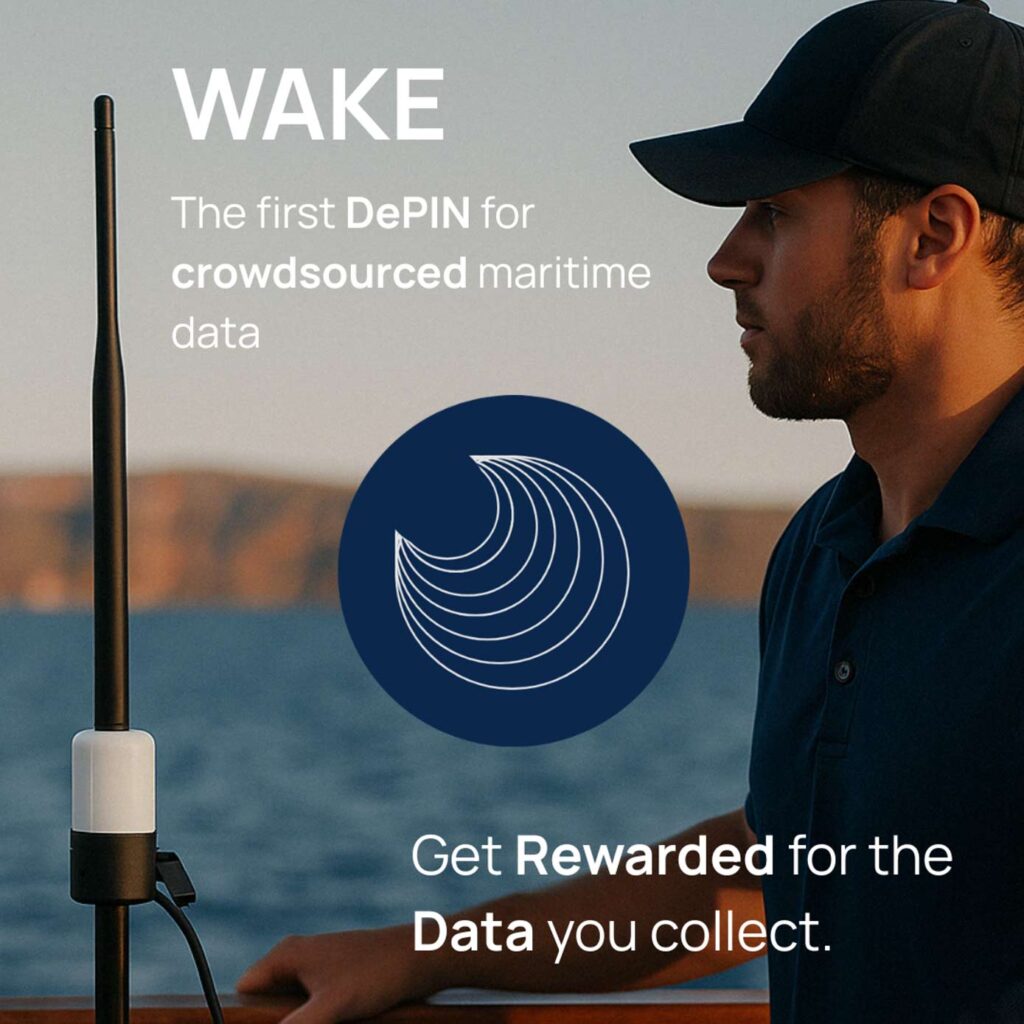
WAKE (Worldwide AIS Network) applies distributed verification principles to AIS in a way that directly involves and rewards the SDR community. At its core, WAKE is a decentralized network of independently operated AIS receivers, often built around RTL-SDRs or similar hardware, working together to validate and record maritime data in a public, tamper-proof ledger.
In the WAKE model, contributors run AIS stations that submit decoded messages to the network. These messages are cross-checked against others received in the same geographic area. A message is only accepted if it passes both multi-receiver consensus and physics-based checks such as motion consistency and TOA analysis. This ensures that false or spoofed data is rejected before it ever reaches the historical record.

For the SDR community, this represents an evolution of an existing role. Many hobbyists already contribute AIS feeds without recognition or compensation. In WAKE, you’re not just relaying what you receive, you’re part of a validation mesh that makes AIS data more secure and tamper-resistant.
Because WAKE is built on a trustless model, no single operator, including WAKE itself can alter or suppress verified data. The integrity of the maritime picture is maintained collectively, with every contributor helping to keep it honest.
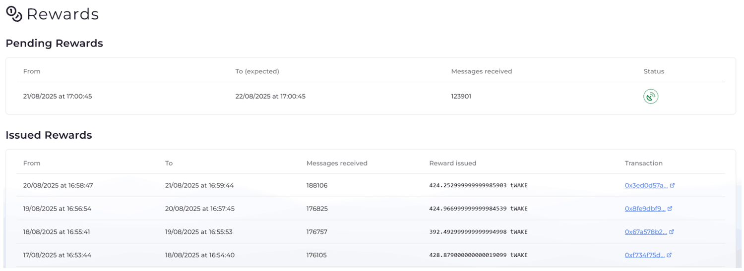
For SDR operators, the incentive is clear: you can keep doing what you already do best, running reliable receivers with clean reception and precise timing, but now with direct rewards for your contribution and the satisfaction of helping build a more open, diverse, and verifiable AIS data ecosystem.
You can learn more about WAKE Here.
Closing Thoughts
AIS has transformed maritime safety and logistics, but it was designed for trust, not for security. That’s fine when all players are honest, but as spoofing incidents have shown, trust alone isn’t enough.
A verification layer built on distributed SDR receivers is one of the most promising paths toward a tamper-proof global AIS dataset. It’s not about replacing the existing AIS ecosystem, but strengthening it.
The SDR community is uniquely positioned to lead that shift. By participating in networks that focus on data integrity, you can help ensure the maritime picture is as accurate tomorrow as it was yesterday, and maybe even fill in the parts of the map no one else can see.